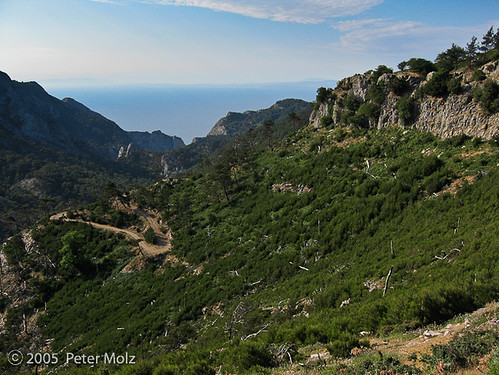
Well, the dense green with many trees in this view to the south-east might be gone now for many years!
The remote area of Kako Perato, a beautiful part of Samos between Kastanea, Kosmadei and the eastern slopes of the Kerkis mountain range, suffered extremely from the devastating fire this week.
View to the north:

As I heard from friends, not much is left of the former beautiful green over there.
Fortunately, the outlet of the canyon towards the sea, the area of the beautiful Megalo Seitani beach, and the villages threatened by the fire, Marathokampos, Kastanea, Kosmadei and Votsalakia, were not hurt by the fire.
For those who haven't been to the area of Kako Perato, in my gallery "Along the abyss to the cave in Kako Perato canyon" are some photos I took in 2007 on my way along the footpath leading to this cave.
In addition, I highly recommend to pay a visit to the well presented website of Rainer Kastl, samos-wandern (hiking on Samos) to accompany him on his tour 24 through this area.
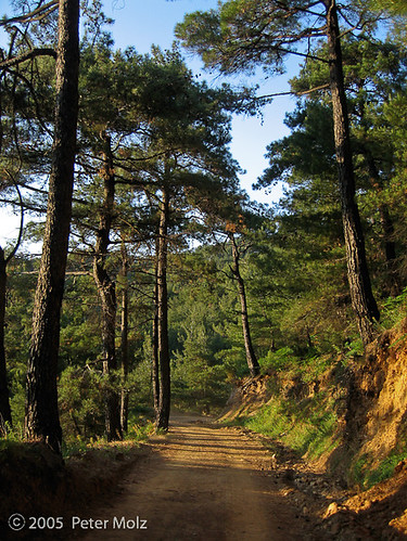
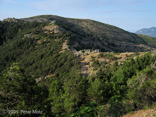
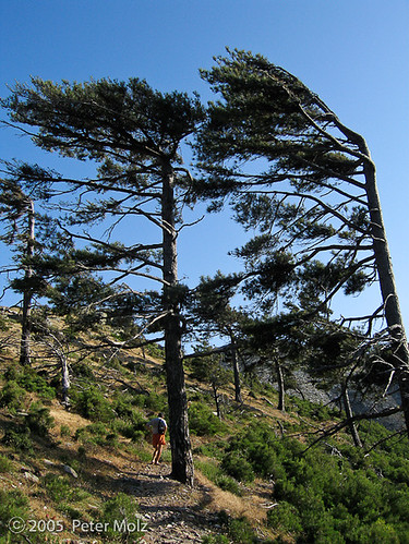
The following photos I took in June of the year 2005:
Hiking, starting from the monument on this saddle in the mountains above Marathokampos, in the direction of Kerkis mountain:

In the light of the setting sun on the dirt road leading through the Kako Perato area towards Kosmadei: